• Temperature:20 ℃
  • PoP:30%

Mt. Yangtou

Closed
  • Last Updated:2024-03-24
  • Browsing people:3719
  • 4.1K view of Mt. Yangtou Trail
  • Mt. Yangtou road sign
  • Mountain and forest scenery on the Mt. Yangtou Trail
  • Evergreen deciduous broad-leaved forest
  • A view of the Mt. Yangtou Trail
  • Ci
  • Xinbaiyang Service Station
  • Xinbaiyang Landmark
  • Mt. Yangtou Trail Guide Map
  • Mt. Yangtou 3035M Height Index
Information
ManagementMt. Hehuan Service Station
Trail LevelGrade 3
Permits RequiredPark Entry Permit Required
Altitude3035Meter
The length of the trail4100Meter
Needed time 8-10 hours
Remark1. This trail is considered a mountaineering trail. Those who do not have adequate equipment or have poor physical fitness should not attempt this hike.
2. Due to the absence of parking space, it is recommended that hikers reach the Mt. Yangtou trailhead via public transportation.
3. Part of the Mt. Yangtou trail lies within the Park Ecological Protection Area and therefore a Park Access Permit is needed to go on the trail. Hikers are able to submit an application between 3 to 60 days before the intended date of the hike (This policy is as of July 2021). Hikers do not need a Mountain Access Permit for the trail: this policy is as of July 2018.
AddressMAP
Phone Number04-25991195

Trail Introduction
Although climbing Mt. Yangtou  is relatively safe, due to the high level of difficulty in ascent it is regarded as one of the harder trails in Taroko National Park. This trail can be completed in a day (8-10 hours out-and-back), or can be combined with Mt. Bilu  for a 2-3 day thru-hike. It will be necessary to bring sufficient food, water, and equipment before embarking. An approved Park Access Permit is required to enter the trail. 

History
In 1969, Lin Wen'an , one of the four pioneers of Taiwan's mountaineering community, completed the first ascent of Yangtou Mountain and listed it among one of the Taiwan Baiyue (Taiwan's top 100 mountain peaks). As such, Mt. Yangtou is a popular high-difficulty day route among mountaineers.
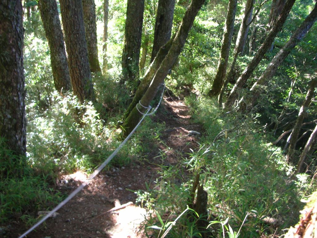

羊頭山風景
Ecology
Lush, dense forests flourish above the Mt. Yangtou trail entrance, with the trail traversing first among broad-leaved deciduous and evergreen species, followed by coniferous, and then broad-leaved mixed variants. Main tree species include the Taiwan Huashan Pine ( Pinus armandii var mastersiana), Taiwan red pine (Pinus taiwanensis), Taiwanese douglas fir ( Pseudotsuga wilsoniana), and the Taiwan spruce (Picea morrisonicola), while species such as the Yushan cane ( Yushania Niitakayamensis), and Yushan rhododendron (Rhododendron pseudochrysathum) thrive under the forest canopy. As such, this environment has become a paradise for wildlife and birds.
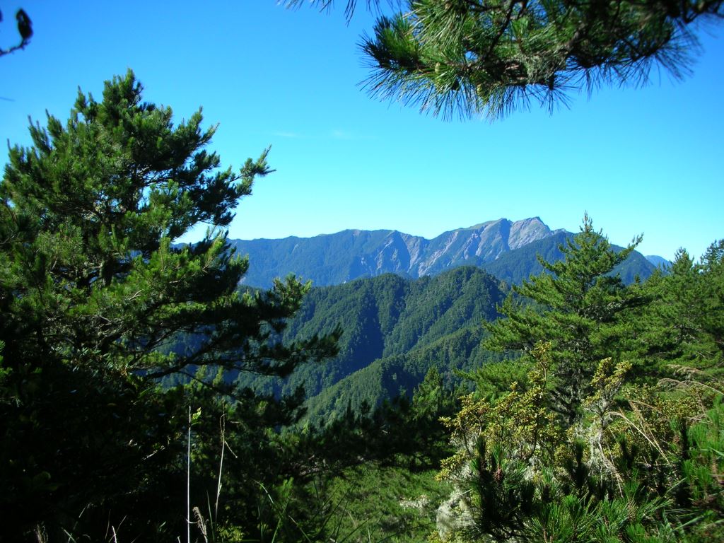
常綠落葉闊葉林
Stop 1: Xinbaiyang
Xinbaiyang is located at the 142.2 km marker along the Central Cross-Island Highway (Provincial Highway 8), immediately past the Hengshan Tunnel. The Xinbaiyang, while having no fixed personnel on-site and having restrooms and parking lot, has interpretative panels that introduce the surrounding ecology, flora, and fauna.
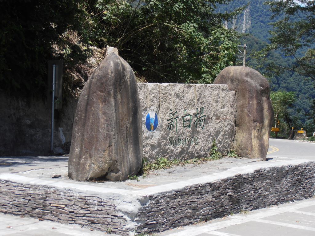
新白楊服務站

Stop 2: Ci'en 

Ci'en is located at the 132.8 km marker on the Central Cross-Island Highway (Provincial Highway 8), and is situated at the base of Mt. Yangtou. The trail entrance of Mt. Yangtou is situated before the Ming Tunnel.
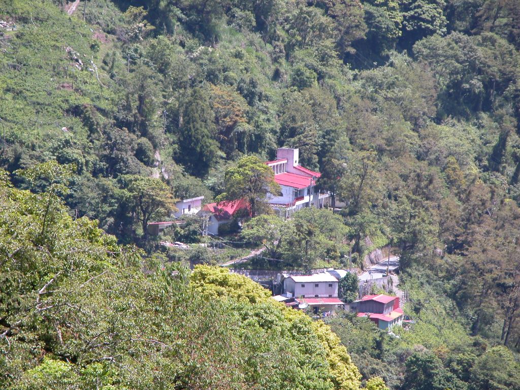


慈恩山莊

Resources

Service Facitilies
Mountaineering.
Traffic Information
Bus1. The trailhead is 500 meter ahead of the Ci’en bus stop. The bus is serviced by Hualien Bus #1141
2. Bus schedules are available from #iBus Info System, and please check Route Search> Search by Bus Operator> Hualien Bus 1141
3. Please consult News > FAQ on our website. “Transportation: Where can I purchase day passes for buses to Taroko National Park?.” and “Transportation: How can I reach Mt. Hehuan from Hualien?”
DrivingThe trail entrance of Mt. Yangtou is situated before the Rockfall Protection Tunnel(Ming Tunnel) at the 132.4 km marker of the Central Cross-Island Highway (Provincial Highway 8).