When Taroko National Park was established on November 28, 1986, it was of special significance for the environmental protection movement in Taiwan: it showed that both the public and the government agencies had realized that against the background of the nation's four decades of extraordinary economic success, serious damage was being done to its natural resources. According to the National Park Act of the Republic of China (passed in l972), parks are established to protect the natural scenery, historic relics and wildlife; to conserve natural resources; and to facilitate scientific research and promote environmental education.
Taroko National Park, situated in the eastern part of the Taiwan and established on November 28, 1986, covers more than 92,000 hectares in the northern section of the Central Mountain Range. This park features high mountains and sheer gorges. Many of its peaks tower above 3,000m in elevation, with many natural wonders. The spectacular Taroko Gorge and the scenic beauty of Liwu River can be conveniently viewed from the Central Cross-Island Highway. The varied mountain peaks, numerous waterfalls, diverse plant forms and animal life, together with the indigenous Taroko people, create the rich texture of this unique natural ecosystem.
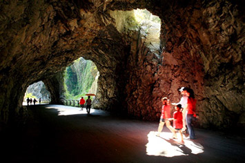
 Tunnel of Nine Turns
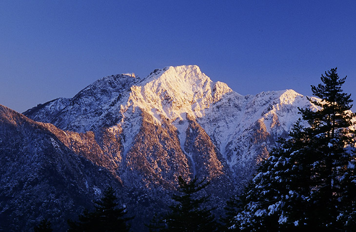
 sunrise
Geographic Characteristics of Taroko National Park
Taroko National Park, in the eastern part of the island, faces the Pacific Ocean on the east and covers an area of more than 92000 hectares(920 square kilometers) in the northern section of the Central Mountain Range. The Park is 36 kilometers from north to south and 42 kilometers from east to west. It is situated at the junction of three counties: Hualian, Taichung and Nantou. The park has many high mountains and steep gorges, with many peaks towering above 3,000 meters in height, and with many natural watersheds.The spectacular Taroko Gorge and the scenic beauty of the Liwu River can be viewed conveniently from the Central Cross-Island Highway. The many waterfalls, diverse forms of plant and animal life, and the indigenous Taroko people,together create the rich texture of this unique natural ecosystem.
The park is bounded by the Dajia River in the north, the Zhuoshui River in the west, and the and the Shanzhan and a Mugua River in the east. The Liwu River is the widest in the area; its drainage basin covers two-thirds of the park. Mountains over 2,000 meters high cover half the park area. Of the peaks listed in "Taiwan's One Hundred Peaks", twenty-seven are in Taroko National Park. Of these, the most renowned are the majestic Mt. Nanhu, Hehuan Snow Cap and the rugged Qilai Peaks.
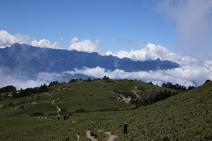
 Qilai Peaks
 Mt. Nanhu