Trail Introduction
Although climbing Mt. Yangtou is relatively safe, due to the high level of difficulty in ascent it is regarded as one of the harder trails in Taroko National Park. This trail can be completed in a day (8-10 hours out-and-back), or can be combined with Mt. Bilu for a 2-3 day thru-hike. It will be necessary to bring sufficient food, water, and equipment before embarking. An approved Park Access Permit is required to enter the trail.
History
In 1969, Lin Wen'an , one of the four pioneers of Taiwan's mountaineering community, completed the first ascent of Yangtou Mountain and listed it among one of the Taiwan Baiyue (Taiwan's top 100 mountain peaks). As such, Mt. Yangtou is a popular high-difficulty day route among mountaineers.
Ecology
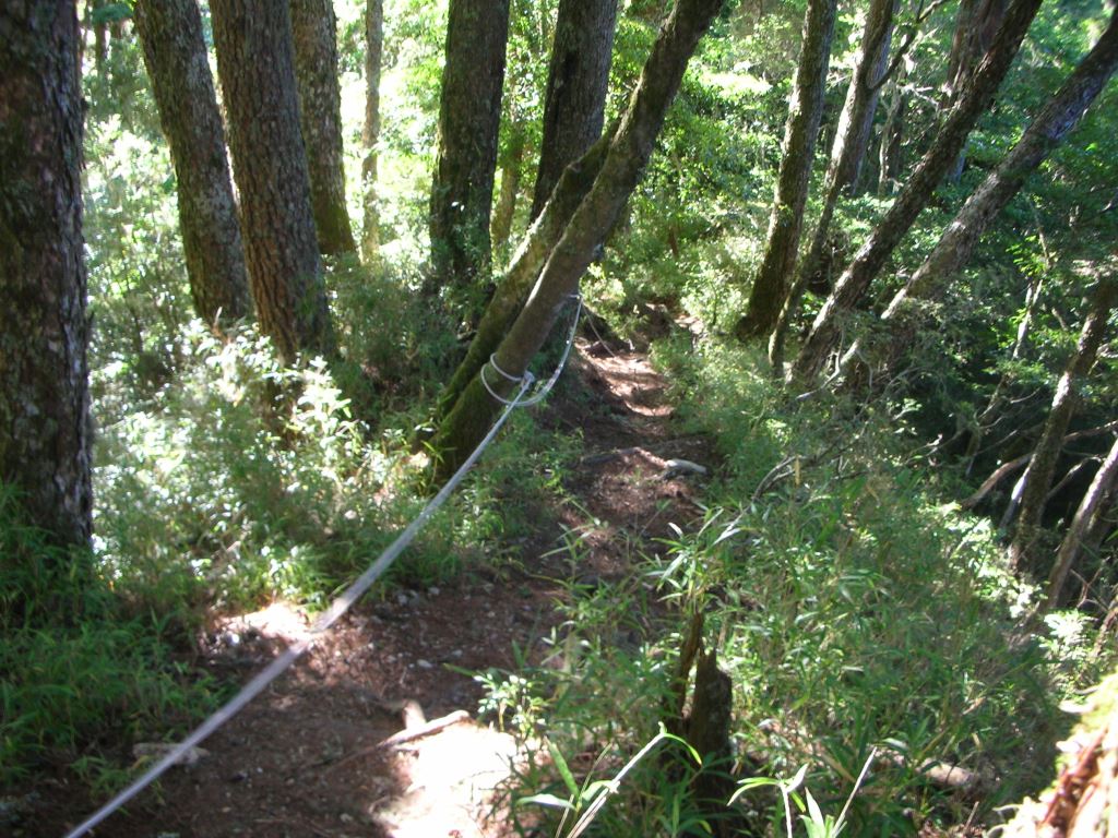
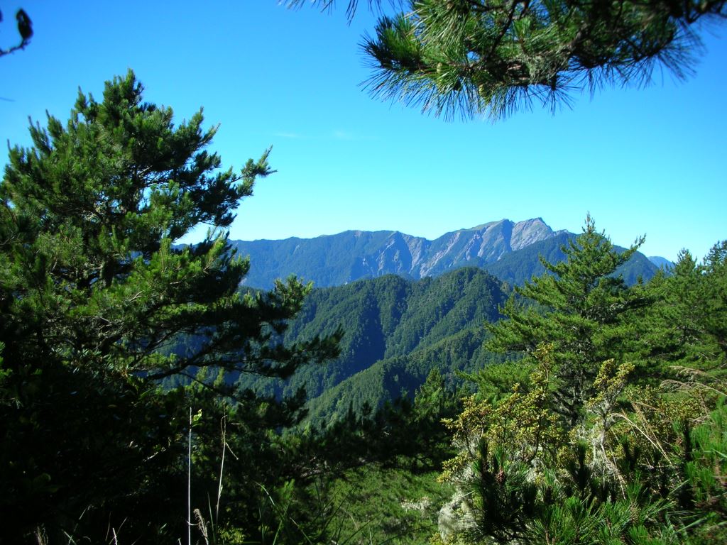
Lush, dense forests flourish above the Mt. Yangtou trail entrance, with the trail traversing first among broad-leaved deciduous and evergreen species, followed by coniferous, and then broad-leaved mixed variants. Main tree species include the Taiwan Huashan Pine ( Pinus armandii var mastersiana), Taiwan red pine (Pinus taiwanensis), Taiwanese douglas fir ( Pseudotsuga wilsoniana), and the Taiwan spruce (Picea morrisonicola), while species such as the Yushan cane ( Yushania Niitakayamensis), and Yushan rhododendron (Rhododendron pseudochrysathum) thrive under the forest canopy. As such, this environment has become a paradise for wildlife and birds.
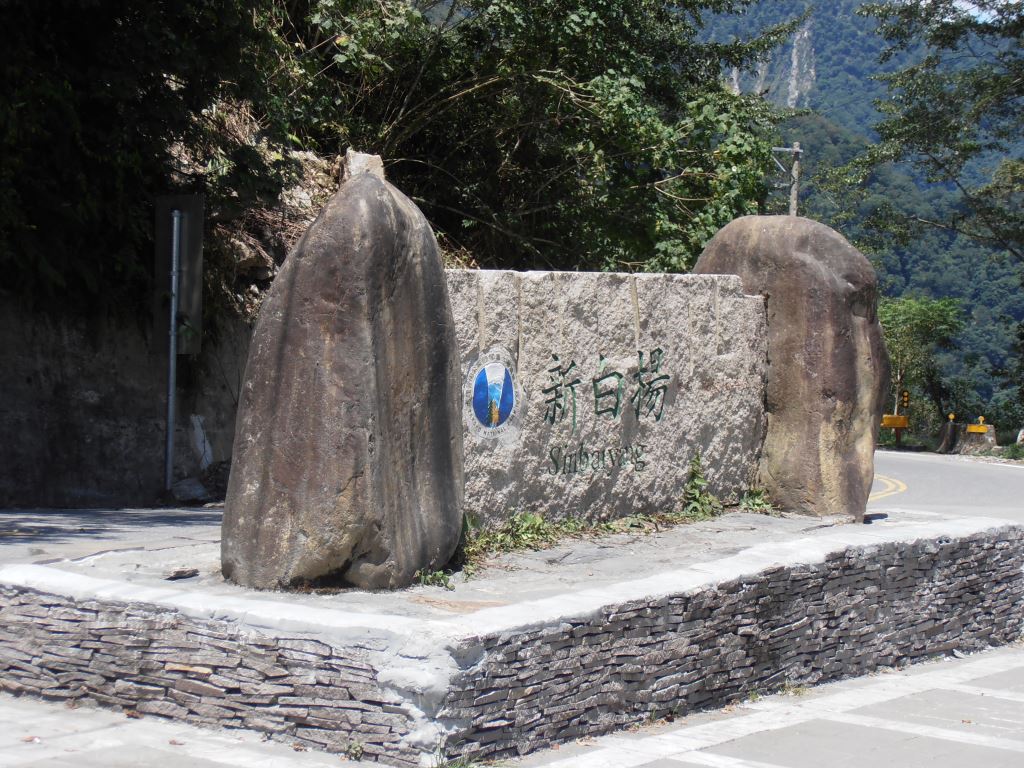
Stop 1: Xinbaiyang
Xinbaiyang is located at the 142.2 km marker along the Central Cross-Island Highway (Provincial Highway 8), immediately past the Hengshan Tunnel. The Xinbaiyang, while having no fixed personnel on-site and having restrooms and parking lot, has interpretative panels that introduce the surrounding ecology, flora, and fauna.
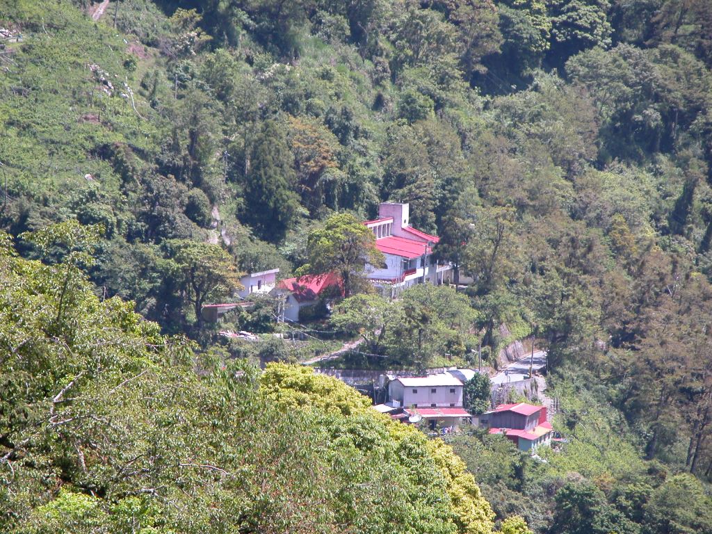
Stop 2: Ci'en
Ci'en is located at the 132.8 km marker on the Central Cross-Island Highway (Provincial Highway 8), and is situated at the base of Mt. Yangtou. The trail entrance of Mt. Yangtou is situated before the Ming Tunnel.
Resources