Note: Due to damage caused by Typhoon Kong-rey, Mt. Pingfeng Trail (including applications for Mt. Pingfeng Cabin): A new bypass trail has been constructed at the Taci Jili River crossing. Please follow the trail markers provided and refrain from deviating from the designated path, starting January 3, 2025.
Trail Introduction 【Mt. Pingfeng Trail Signage and Route Itinerary】
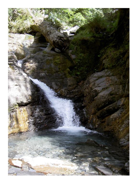
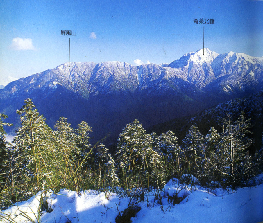
"Pingfeng" directly translates to "screen"—indeed, the Mt. Hehuan area in Taroko National Park resembles a screen from afar. With the neighbouring Mt. Hehuan and Mt. Qilai, the three mountains stand upright above the Tacijili River, generating a steep, tall cliff at Dayuling (the town immediately north of the mountains) with an extremely large vertical drop. Mt. Pingfeng , at an elevation of 3,250 meters, is a third-order triangulation point and is listed within the baiyue "Nine Walls". Combined with Mt. Qilai North Peak, the ridgeline runs north to south, and the resulting three faces are bordered by streams. The mountain peak is covered with arrow bamboo, and is surrounded by pine trees. The trailhead of Mt. Pingfeng is located at Dayuling , opposite the old Nanhua Hotel. The first half of the trail follows a cement-paved industrial road; however, it soon turns into a steep mountaineering trail. An open space ideal for camping can be found not long after crossing the suspension bridge.
 History
In the past, to climb Mt. Pingfeng, hikers had to begin southwards from Songxue Lodge towards the Tacijili Valley following the Mt. Qilai route, then turn northwards passing Mt. Qilai North Peak to reach the foot of Mt. Pingfeng. Since 1973, owing to the excavation of the Mt. Hehuan Gold Mine (formerly known as the Far East Gold Mine), the majority of hikers follow the excavation path to Mt. Pingfeng beginning at Dayuling, which significantly shortens the hiking duration.
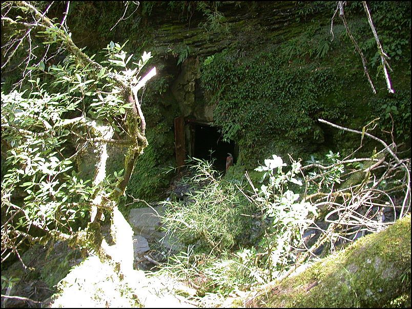
Stop 1: Hehuan Gold Mine Worker's Hut
The now abandoned Hehuan Gold Mine, due to the abundance of surrounding water, is a good place to camp.
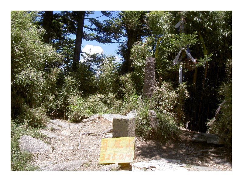
Stop 2: Mt. Pingfeng
A third level triangulation point is installed at the summit of Mt. Pingfeng. Towards the northeast immediately lies Mt. Wuming and the steep precipice of Mt. Bilu.
Resources