Trail Introduction
Special Features: Views of pioneer plants, Qingshui Cliff, fixed fishing nets and a pebble beach.
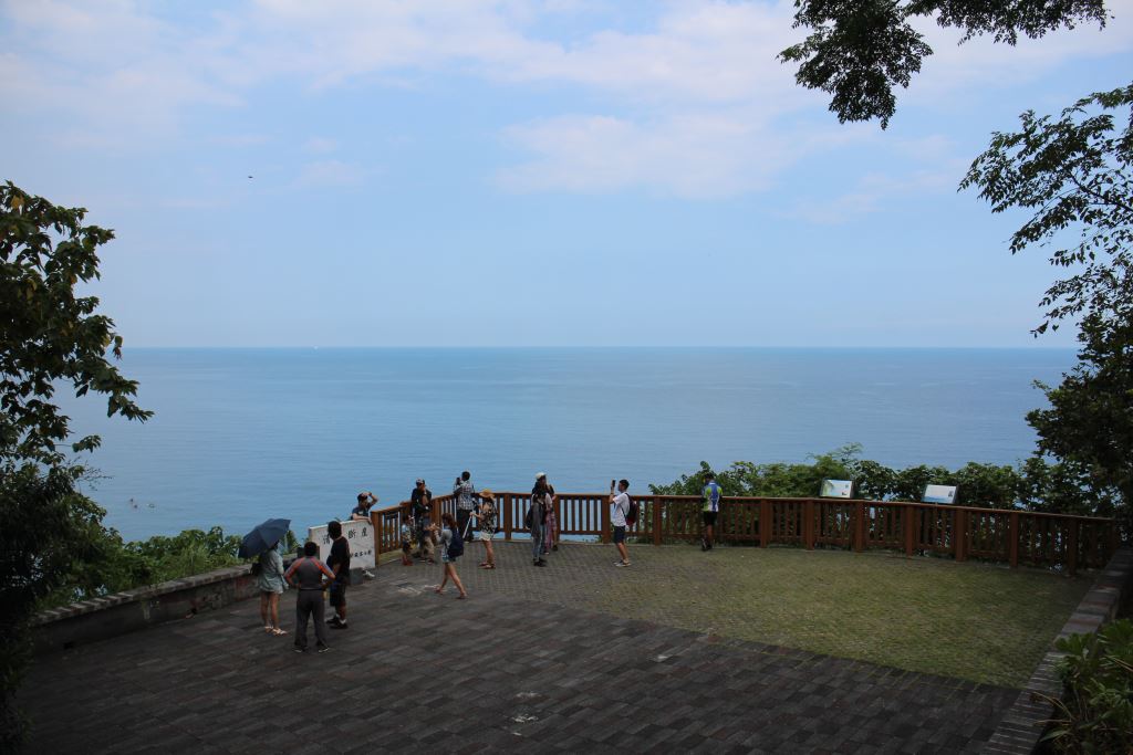
This stair trail that starts from the car park of north opening of Chongde Tunnel. It is a rather short trail. Following the stairway about 15 minute walk, one can reach the end of trail. A group of plants grow on the barren cliffs of Qingshui. These hardy, drought resistant lithophytes thrive in miniscule amounts of soil that has accumulated in the cracks and crevices of the cliffs. That these plants do so well in this harsh environment is testament to the miracle of diversity. Visitors particularly favor the opportunities here to observe the changing colors of the sea.
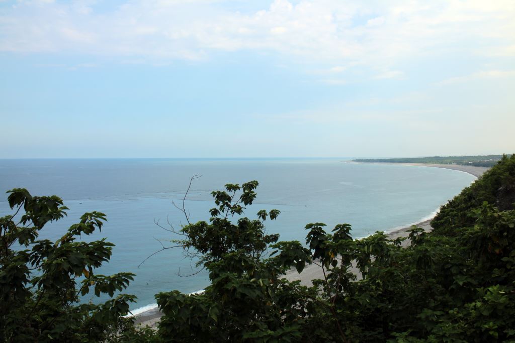
The Qingshui Cliffs were known as one of Taiwan's "Eight Scenic Wonders". The collision of two massive plates and their subsequent respective ascents and subductions resulted in the formation of this unique geological formation on the Pacific Ocean following the Suhua coastline. There are many scenic points of interest along the Su-hua Highway where the visitor can stop and enjoy spectacular evidence of the power and magic of the gods that created this area. From here to the south one will see the alluvial Chongde delta created by the ongoing conversation between the Liwu River and the mountain of Taroko as well as the fixed fishing net. Occasionally, one may also see a small vessel carrying one or two people out to check the nets.
Depending on the market demand, the fishing boats will make up two trips a day to the nets, one at dawn and one at dusk. The kinds of fish caught vary from season to season. In the spring and summer one can expect to see Skijack Tuna, Chub-Mackerel, Red Big Eye, Barracude etc., while Tunafish, Sunfish are commonly caught in the fall and winter. The common Dolphin Fish is around all four seasons.
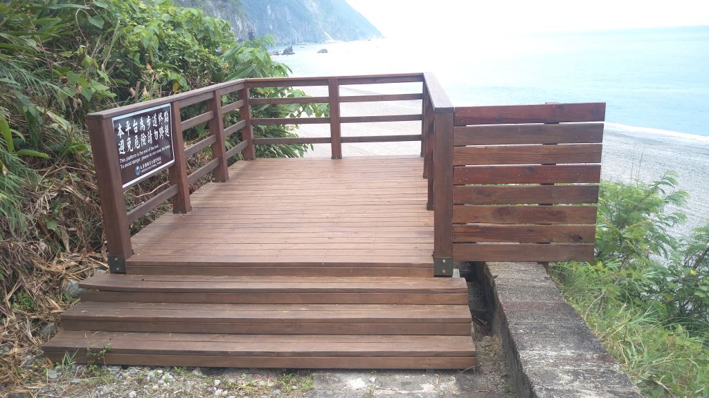
There are observation platforms along the trail. The first, located next to the parking area, presents not only a great place to watch the Qingshui cliffs, you will also have nearly a birds-eye view of the Pacific Ocean. The beach below is also the location of commercial fishing activities. At times one can see the small fishing boats or rafts going back and forth to the fixed nets. A little ways down the trail is the second observation platform, next to which are the area’s restrooms.
Su-hua Highway History
The Su-hua Highway runs from Su’ao to Hualien. Located on the eastern flank of the Central Mountain Range, the road winds its way between precipitous cliffs and the Pacific Ocean. Changes in the human element in the area are reflected in the very different development stages of this transportation route. The first modern road was built by the Chinese Qing Dynasty government and it was known as the "The North Route". The Japanese rebuilt and expanded the road giving it various designations as part of their "Greater Nan’ao Trails" or the euphemistically named "Aborigine-Management Roads", later, the "Su’ao-Hualien Trail" and finally the "Suhua Coastal Road". After the nationalist Chinese government came to Taiwan in 1945 the Su-hua Highway and the Northlink Railway Line (Taipei-Hualien) were built. The route has seen everything from gravel to cement and asphalt, from narrow footpaths to one-way roads to wide highways and two-track railway systems. These many manifestations of transportation routes are witness to the different ages and dominance of different people as the eastern part of Taiwan was developed.
The Heren-Taroko stretch of the Su-hua Highway traces the eastern border of Taroko National Park. Winding its way between the wonders of the Qingshui Cliffs and the majesty of the Pacific Ocean, the 19 kilometers of road passes through the only part of the park that adjoins the ocean. The rich plant life and geological formations present yet another unique and fascinating aspect of Taroko National Park. There are three stations in this part of the park: Chongde, Huide, and Heren. The stations all provide opportunities for rest. Visitors particularly favor the opportunities here to observe the changing colors of the sea, the spectacle of the cliffs and boulders that cascade down to the ocean, and the star-like lights of the fishing boats that come on after dusk.