Note: The Mt. Hehuan West Peak Trail extends beyond the Mt. Hehuan North Peak Trail at Mt. Hehuan North Peak.
Trail Introduction
The trail entrance of Mt. Hehuan North Peak and Mt. Hehuan West Peak is located at the 37 km marker on Provincial Highway 14A. Hikers can park at Xiaofengkou and walk from there to the trail entrance, which is easy recognizable from the information plaque.
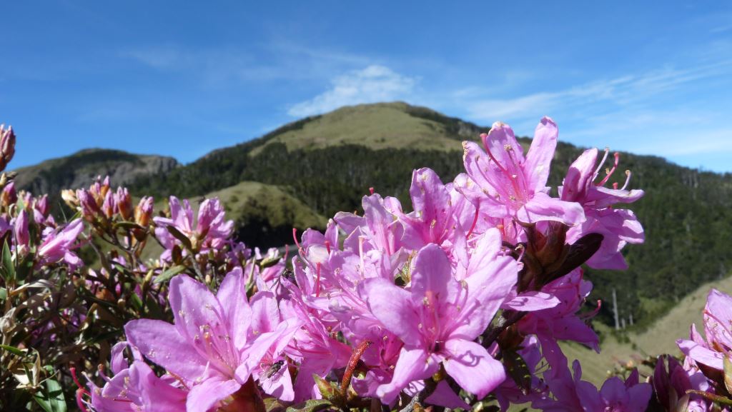
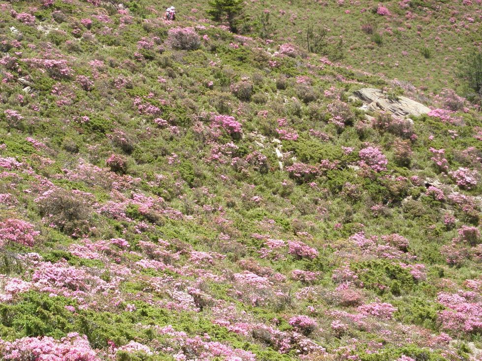
From the trailhead, the trail immediately follows up the ridgeline. This section of trail is steep and should take roughly 1 hour to finish the ascent. Rhododendrons flourish within this section, and bloom between May to June every year. Trees are mostly absent, so adequate sun protection is needed in sunny weather. On the other hand, the Hehuan mountain range is particularly prone to thick fog in the afternoon. Because hikers often lose the trail near the summit of the mountain during such inclement weather, the best times to hike this trail is before noon or when the weather is good and stable.
Geology
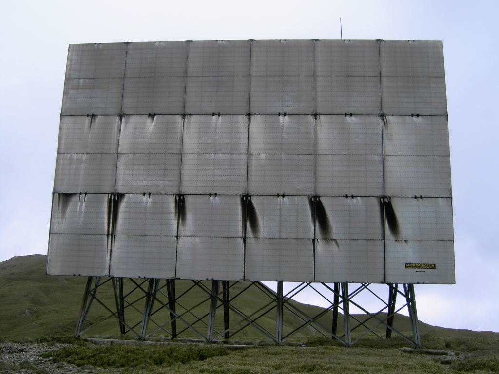
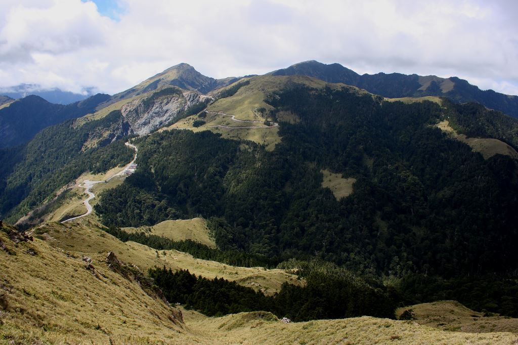
At 3,422 m a.s.l., Mt. Hehuan North Peak is located on the western periphery of Taroko National Park and is the highest peak in the Mt. Hehuan series. Mt. Hehuan North Peak is flanked on the east side by the Jinma Tunnel, which connects the Central Cross-Island Highway (Provincial Highway 8) to Provincial Highway 14A at Dayuling; Highway 14A runs along the south base of the peak towards Xiaofengkou. These two highways clearly delineate the mountain peak. A huge reflector can be easily seen on the ridgeline close to the Peak, clearly marking Mt. Hehuan North Peak. Mt. Hehuan North Peak's verdant landscape blends forests and fields together, the latter which blossoms into a sea of colorful flowers during the spring and summer.
Trail Guide
The trail starts at Xiaofengkou ( small wind vent), a wide landmark along the highways within the Mt. Hehuan area. Xiaofengkou is flanked by the Liwu river basin to the east and the Hehuan river above the Dajia river to the west. The origin of the landmark’s name comes from its geology: here, strong gusts of wind blow westwards through a naturally-formed wind tunnel.
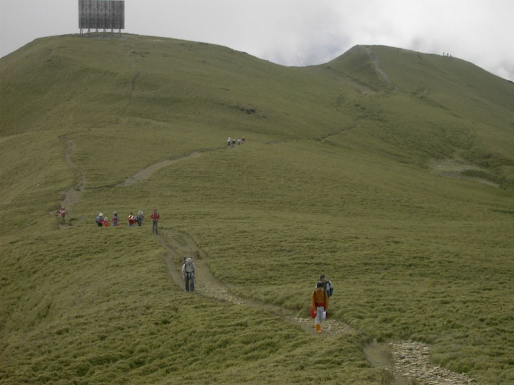
The horizon greatly expands upon passing the telecommunications reflector that lies near the summit. Occasionally, hikers can enjoy the billowing clouds that roll across the undulating landscape. The mountain peak commands a near-360 degree panorama that include the other surrounding Mt. Hehuan peaks, as well as Mt. Nanhu to the north and Mt. Qilai to the south. The hike to the reflector is roughly 1.5 hours from the trailhead, and about a half hour from the reflector to the North peak of Mt. Hehuan. A round trip from the trailhead to Mt. Hehuan North Peak and back (out-and-back) will take roughly 3.5 hours.
Ecology
Outside the winter season, short bamboo cover the mountainscape, the resulting scenery similar to that of the Alps. There are a number of species dear to the Mt. Hehuan landscape:
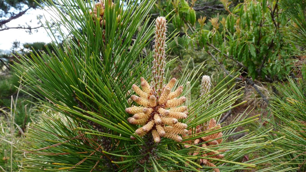
The Taiwan red pine (Pinus taiwanensis), a species endemic to Taiwan that thrives at middle to high altitudes in sunny and dry climates. The species exhibits a prime example of expedited secondary succession: only a few years following a major forest fire in the Mt. Hehuan area in 1991, the next generation of Taiwan red pines were already well on its way to fully maturing amidst the charred pine tree trunks that were simultaneously still standing from the original fire.
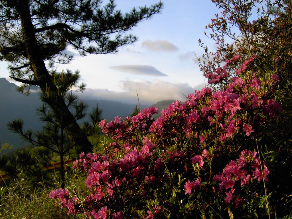
The red-hairy rhododendron, (Rhododendron rubropilosum), which flourish in the Central Mountain Range, are particularly beautiful when in full bloom. Its flowers are small but dense, almost entirely covering the underlying green leaves. As such, brilliant pink bushels dot the sea of green, creating a spectacular landscape for the few months that the flowers are in bloom.
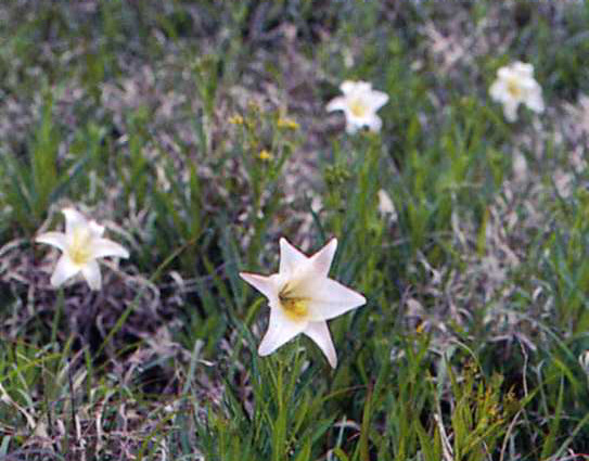
During the early summer in June and July, Taiwanese lilies (Lilium formosanum) are often found blooming on the roadside or within bushes of Yushan cane. They can be found scattered across the landscape or in dense congregation. Their large white flowers are particularly noticeable, especially by their sweet scent that permeates the surrounding air.
Resources